New Zealand in pictures
A journey round New Zealand in February 2007
19th to 23rd day
|
Day
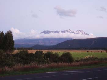
19 - Kaiteriteri to National Park Village (north Island)
|
|
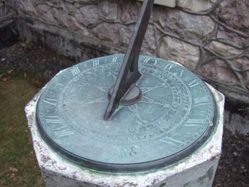
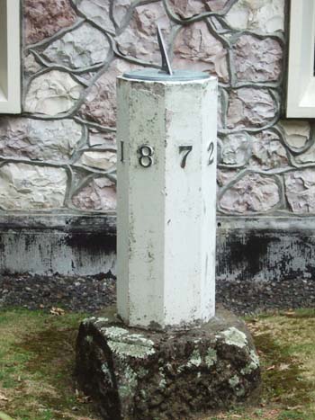
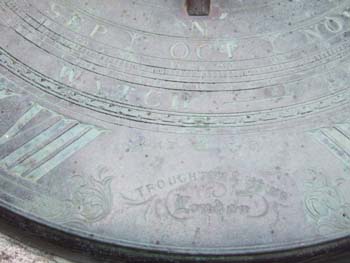
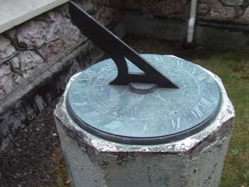
The sundial outside Picton church
with the touching motto
Be as true to each other
As the dial is to the sun
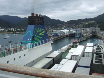
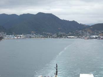
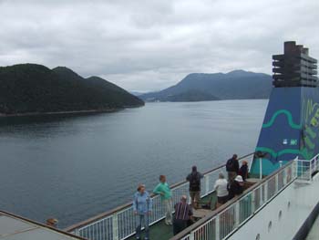
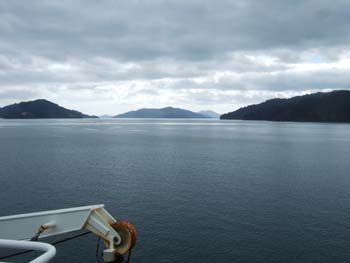
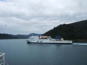
Picton is at the head of the very long Queen Charlotte Sound, and has the
Inter-Islander ferry which connects with Wellington in the North Island
|
|
|
|
|
|
|
|
|
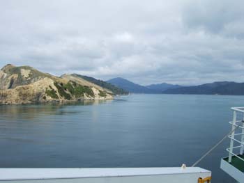
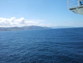
The two smqall white leading
lights mark the entrance to Queen Charlotte Sound
|
|
|
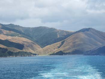
The coast of North Island
|
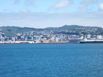
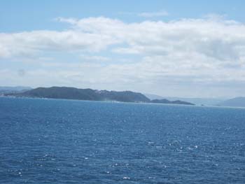
Wellington from the sea
|

A photoshoot of wedding dresses
on a windy Wellington street
|
|
|
|
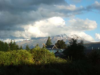
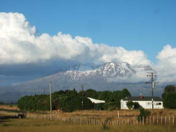
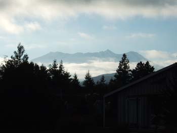
View from our bedroom window
|
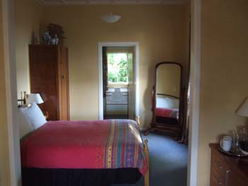
Our bedroom in the National
Park Village
|
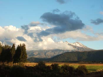
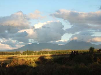
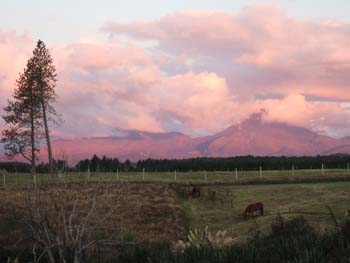
Changing views in the evening
light
|
|
|
|
|
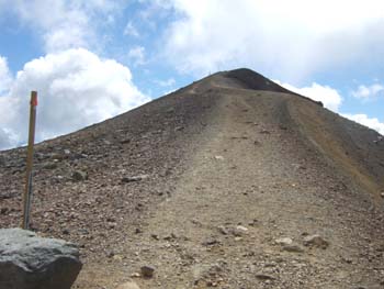
Day
20 - Walking the Tongariro Crossing
- Bus to the Mangatepopo road end
- 17 km. walking with 800 metres ascent and 1150 metres of descent
- Weather: sunny with occasional cloud
|
Early dawn
|
|
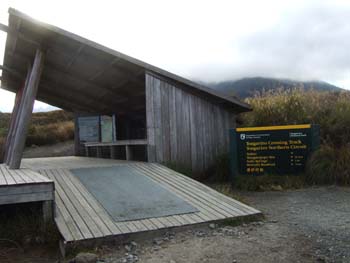
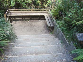
The hut at the road end
|
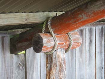
Interesting joint for the hut
construction
|
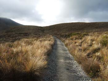
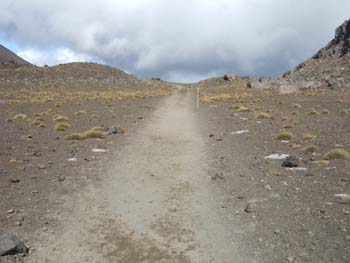
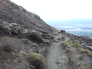
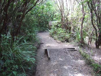
The start of the track - mesh
to avoid erosion
|
|
|
|
|
|
|
|
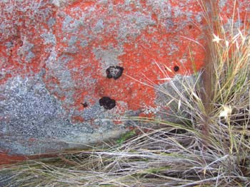
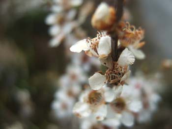
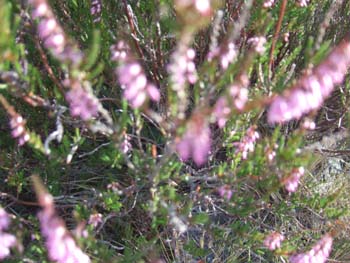
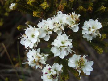
Red lichens
|
and white
|
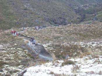
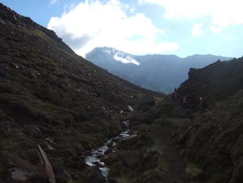
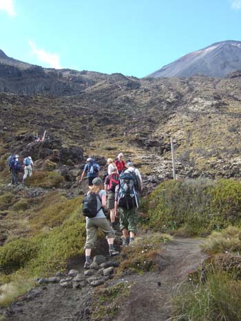
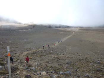
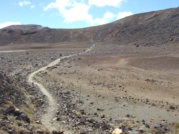
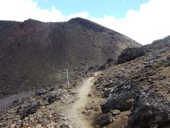
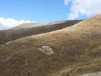
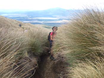
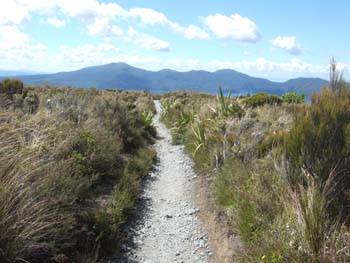
Most people start between 7.30
and 8, so there are quite a lot of people on the track to begin with
|
|
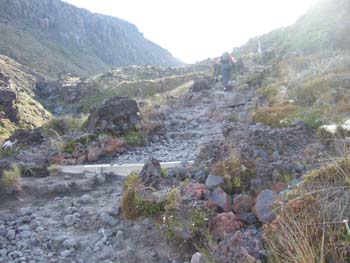
Track passing over a lava field
|
|
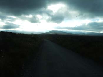
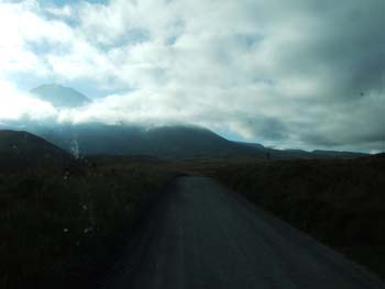
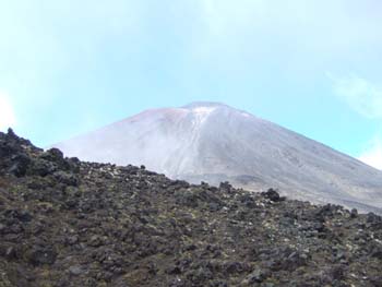
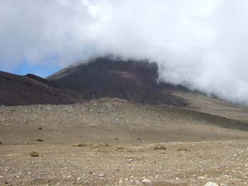
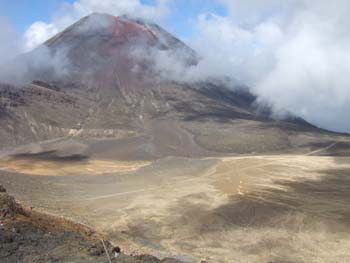
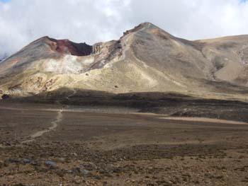
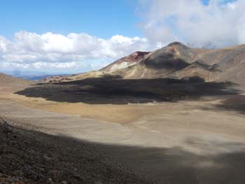
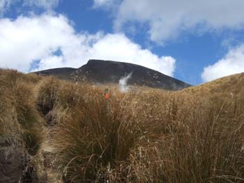
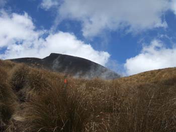
Clouds across the face of Mt.
Ngauruhoe
|
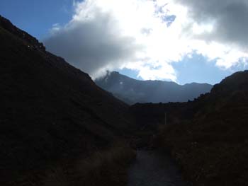
The first steep bit
|
|
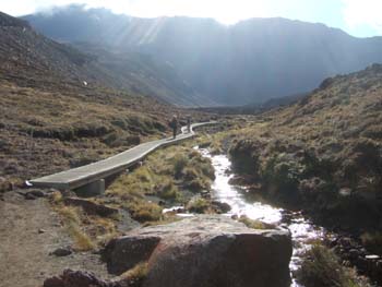
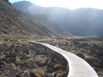
Board walk across fragile alpine
area
|
|
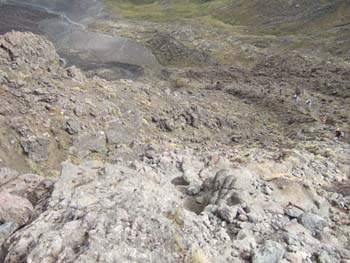
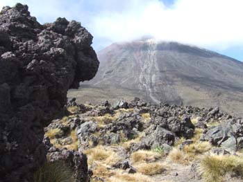
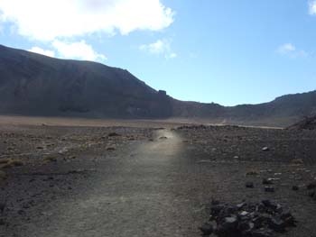
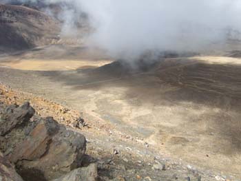
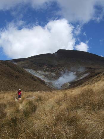
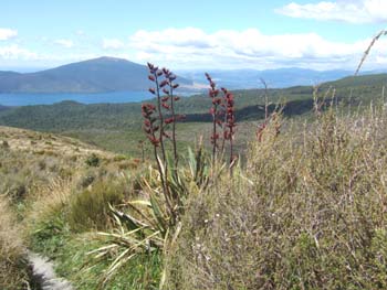
Walking across the South crater
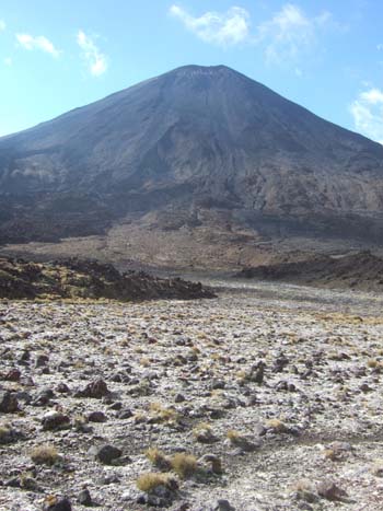
It is possible to climb Mt. Ngauruhoe on an unmarked path, but it is a steep
climb taking 1½ hours return, and there is not enough time for this
unless you are staying the night in one of the huts
|
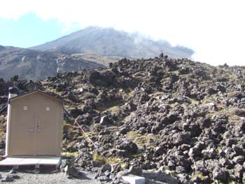
The toilet near Soda Springs
(lashed down for the severe winds)
|
The Soda Spring, smelling of
sulphur
|
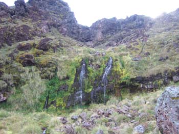
Waterfall above Soda Springs
The track gets steeper (right)
|
|
|
|
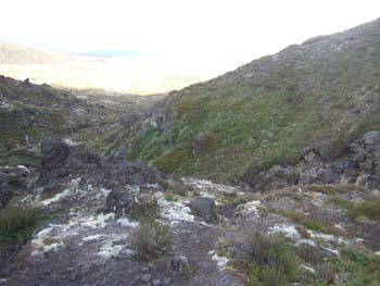
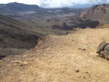
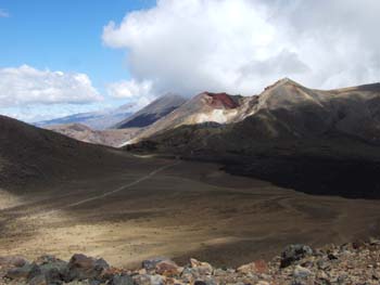
Looking back to the start
|
|
|
|
|
Walking across the South Crater
|
|
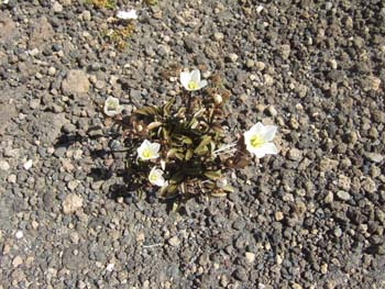
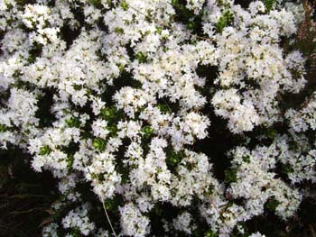
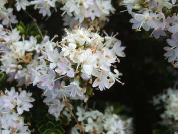
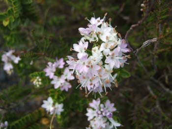
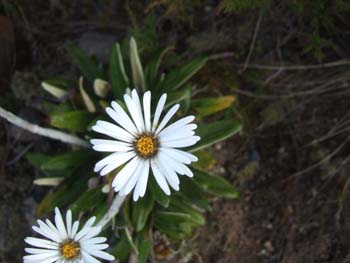
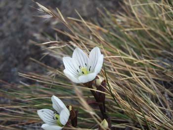
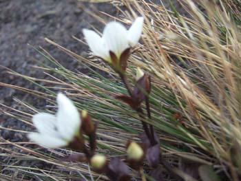
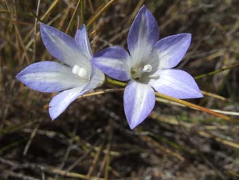
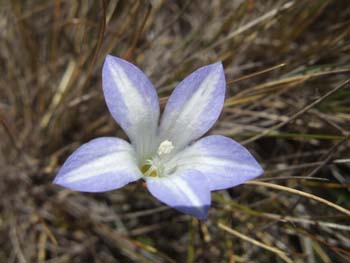
Some flowers can grow even in
volcanic ash
|
The path climbs up the left hand
ridge
|
|
Looking back over the South
crater
|
|
|
|
|
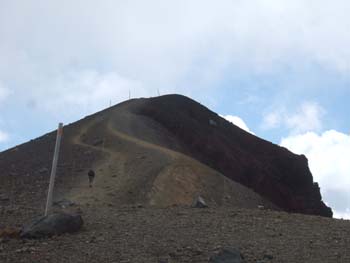
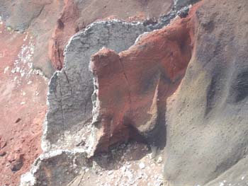
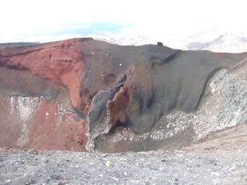
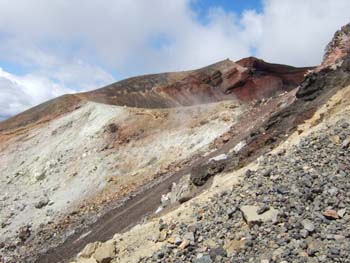
The path to the final summit
|
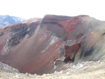
with the stunning Red Crater
beyond it
|
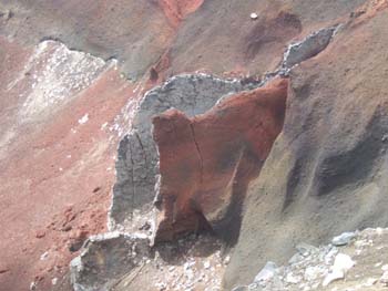
including this very strange
lava flow hollowed out by weathering
|
The highest point of the crossing
(1900 m.)
|
|
|
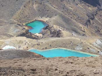
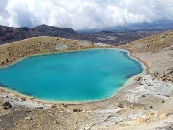
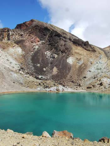
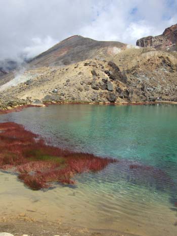
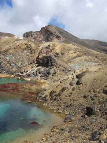
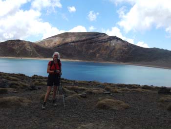
Looking down on the
Emerald Lakes
|
This short section of the path
is on loose scree
|
|
|
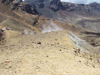
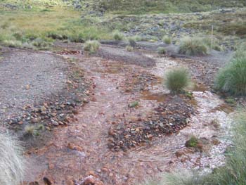
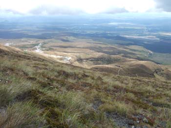
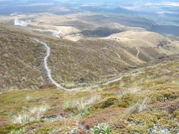
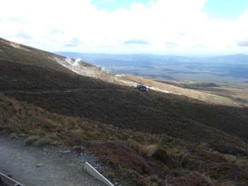
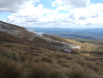
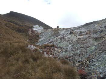
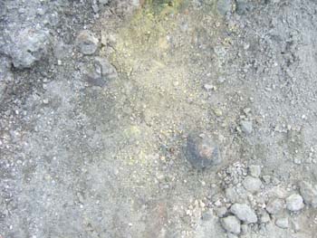
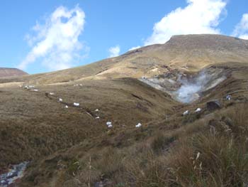
Steam from ulphur springs
|
|
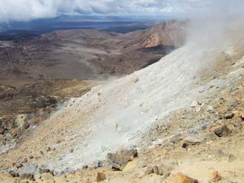
The sulphur spills over onto
the slope below
Looking back from the first emerald lake to the high summit (left)
|
|
|
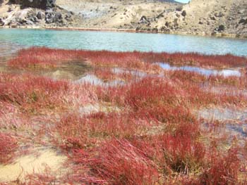
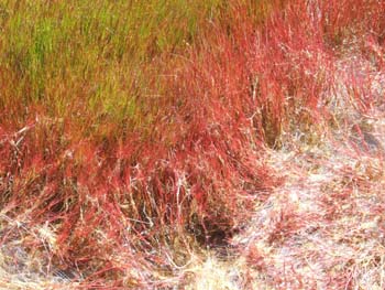
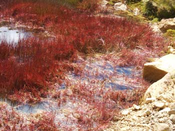
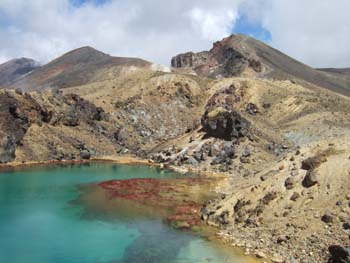
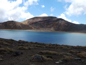
The third emerald lake had this interesting red reed round its margin, providing
a stunningt colour contrast
Looking back from there to the high summit (right)
|
|
|
|
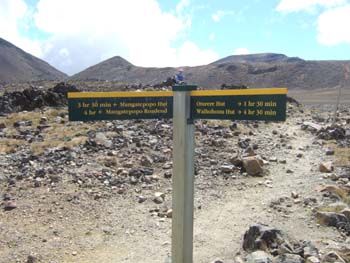
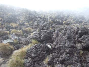
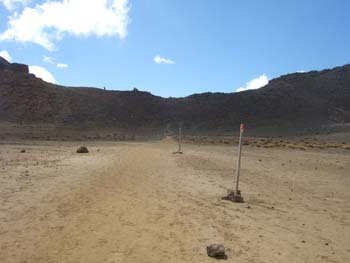
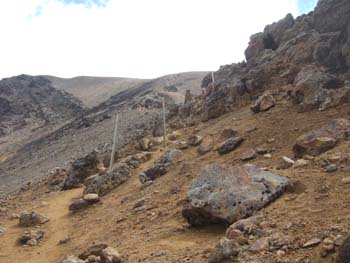
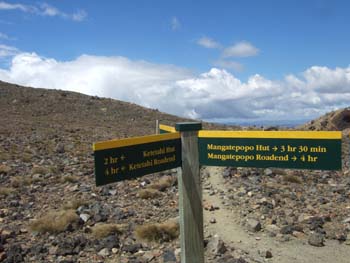
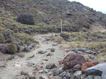
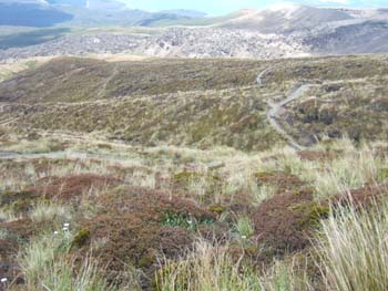
Department of Conservation signposts
make sure you don't get lost
|
|
The path leads on across the
central crater
|

|
Looking back
|
|
|
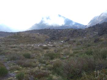
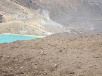
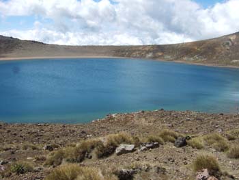
Arriving at the Blue Lake
|
|
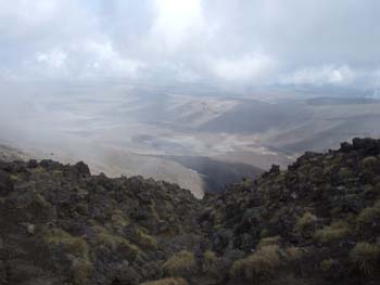
From the Blue Lake, which is
almost exactly halfway, there is a steady descent of over 1000 m. through
less interesting scenery to the Ketetahi road end. An alternative at this
point is to trun round and see all the really good scenery again.
|
|
|
|
|

|
|
|
|
|
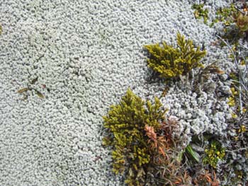
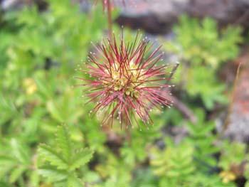
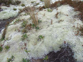
Tuft lichens
|
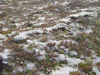
...growing in great abundance
|
|
|
|
|
|
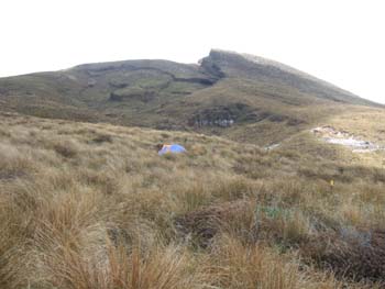
The Keetahi Hut with the Keetahi
Springs just above them. (The springs are on private land)
|
|
|
|
|
|
|
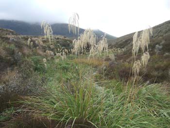
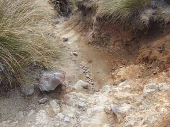
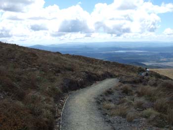
A sunken path in a red tussock
area
|
|
|
|
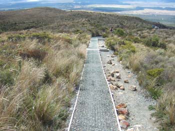
The Dept. of Conservation is
building a shortcut path to lead walkers further from the private springs.
There is even a small digger at the top of line of bags, presumably brought
in by helicopter.
|
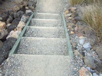
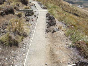
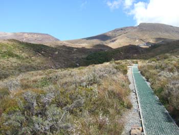
The path from here on is made
up with stepped levels and honeycomb mesh to prevent erosion
|
|
|
|
|
|
|
|
|
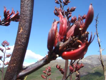
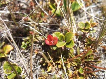
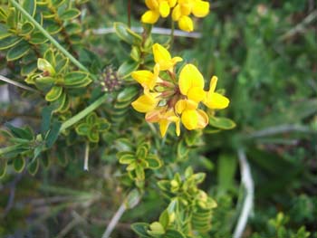
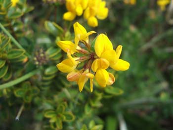
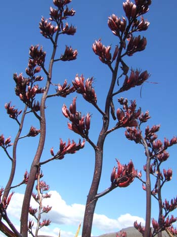
There were plenty of bare flax
stalks all over NZ, but this was the only plant still flowering
|
|
|
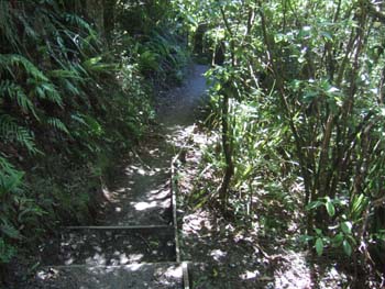
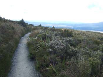
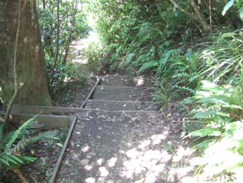
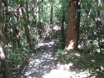
For the last few km. the path
is in forest land
|
|
|
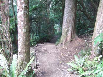
...with occasional resting places
for the weary who were not by then short of time to reach their bus at the
road end
|
|
|
|
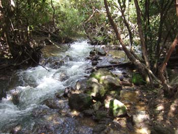
The last kilometer runs alongside
a gusing stream
|
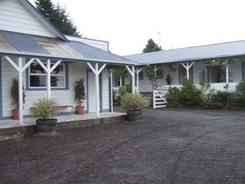
Back at the Tongariro Crossing
Lodge in National Park
|
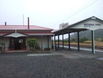
And off to the railway station,
now converted to a restaurant, for a very good dinner
|
Day
21 - National Park Village to a homestay near Te Kuiti
- Lake Taupo
- The Huka Falls on the Waikato River
- Orakei Korako - the "hidden valley" of geothermal springs
- Weather: fine and warm
|
|
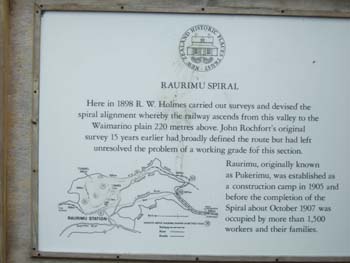
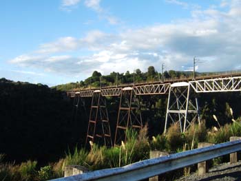
The Raurimo Spiral was completed
in 1908 and was the final link in the Main Trunk Railway from Wellington
to Auckland. Several thousand men worked on this project for 3 years; when
completed, it was declared to be one of the wonders of the world.
|
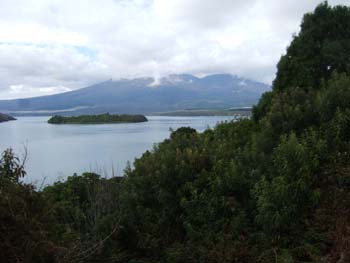
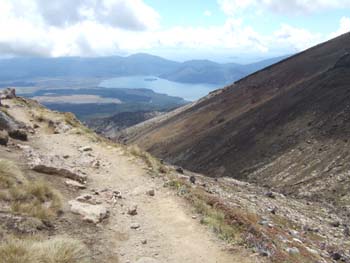
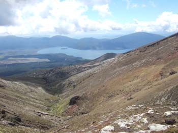
Lake Rotoaira
|
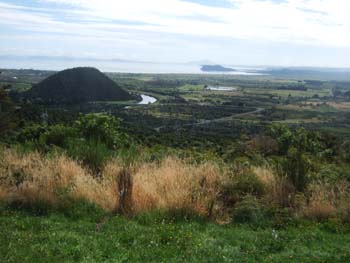
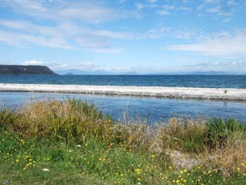
Lake Taupo, the largest lake
in New Zealand, formed by an enormous volcanic explosion in AD 181
|
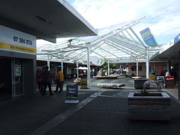
Shopping centre in Turangi
|
|
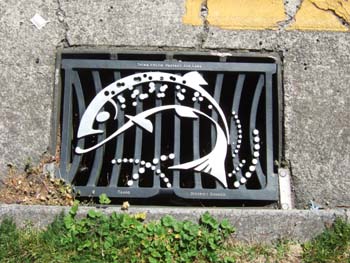
Turangi is the centre of the rainbow trout industry, and advertises it on its rainwater gratings
|
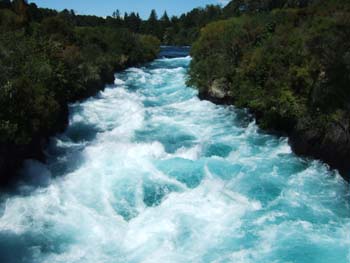
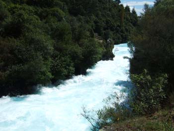
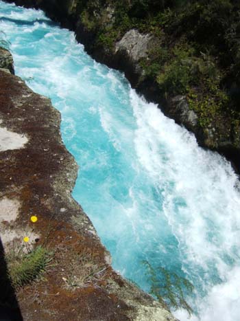
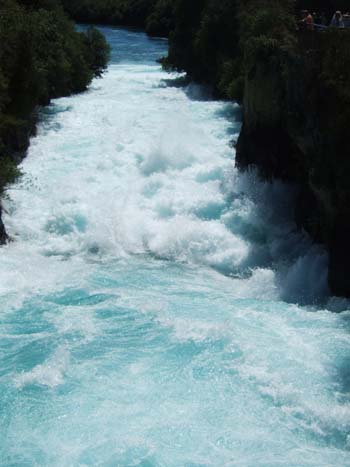
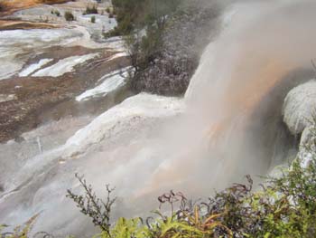
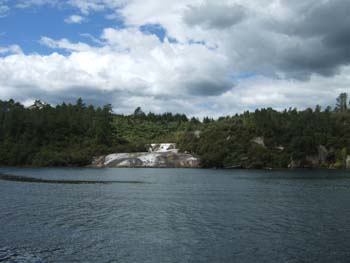
The Huka Falls on the Waikato River, forced into a channel only a quarter of its previous width
|
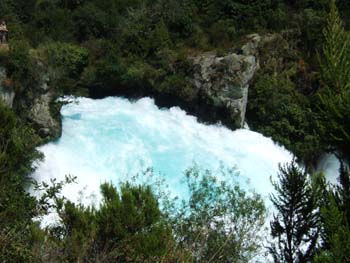
The Waikato is NZ's longest river
|
|
|
|
|
|
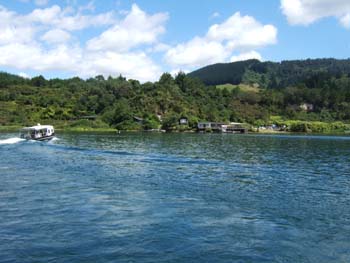
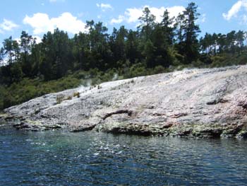
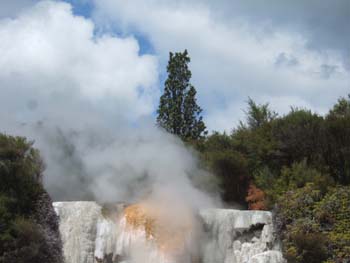
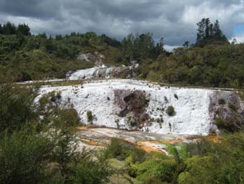
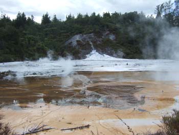
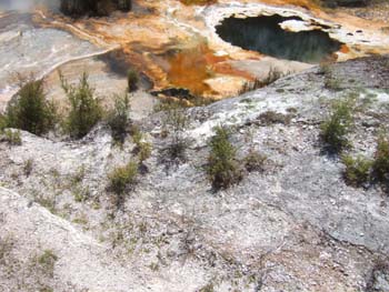
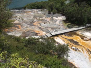
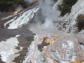
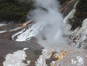
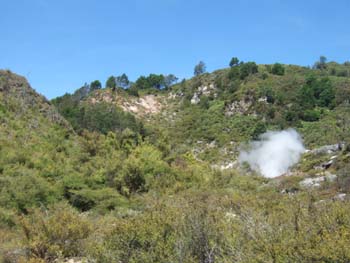
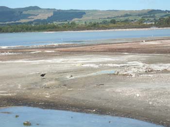
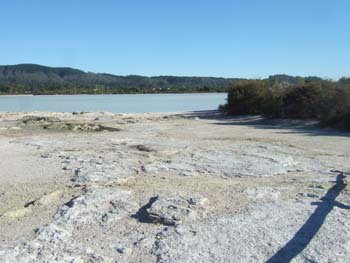
The ferry crossing to Orakei Korako, known as the Hidden Valley.
Hot water algae growing in the sulphurous water (right)
|
|
|
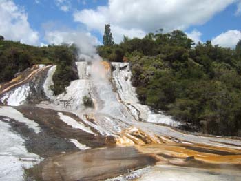
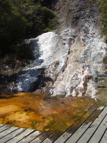
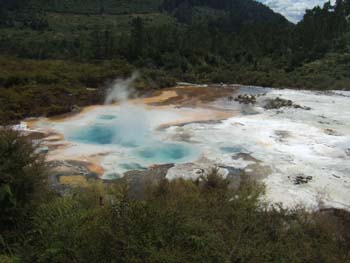
The Rainbow Terrace with geyser
|
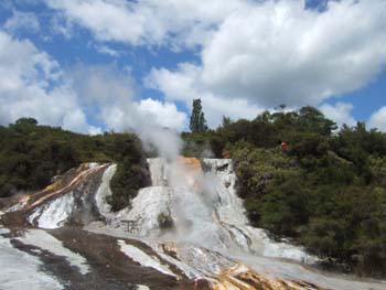
|
|
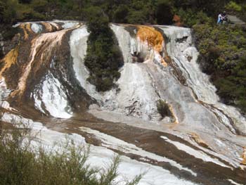
|
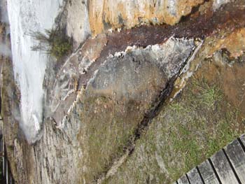
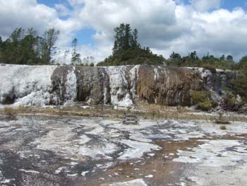
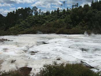
The Cascade Terrace
|
|
|
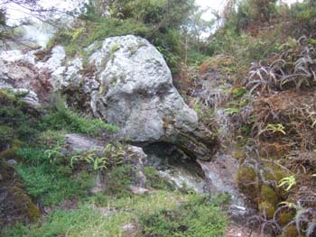
The "Elephant's Head Rock
|
|
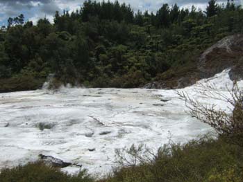
The "Artists Palette" with a thickness of less than an inch of silica in some places
|
|
|
|
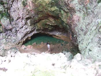
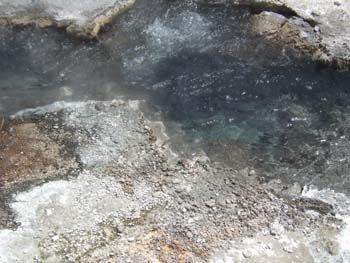
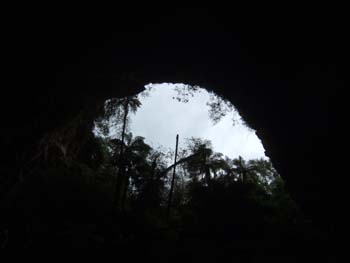
The Ruatapu cave with the pool of mirrors at the bottom
|
|
|
|
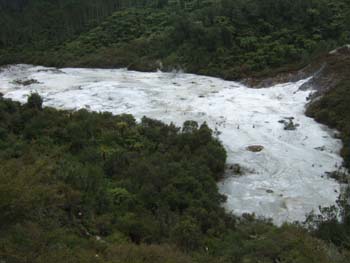
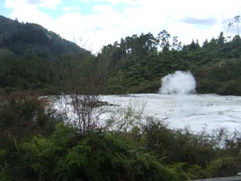
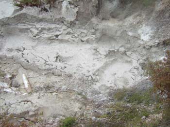
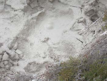
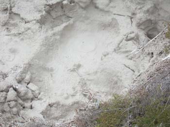
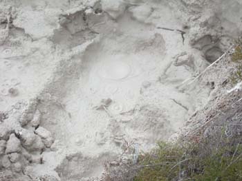
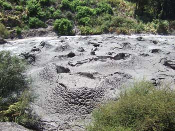
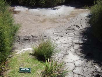
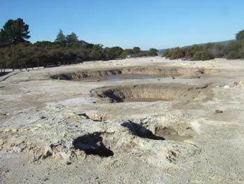
Mud pool
|
|
|
|
|
|
|
|
|
|
|
|
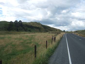
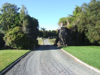
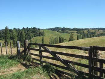
On the road to Te Kuiti
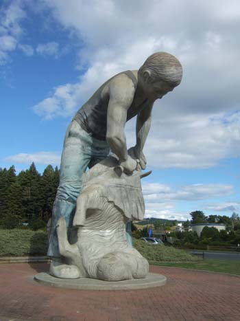
Te Kuiti is the "sheep shearing capital of the world" and commemorated by this huge statue at the entrance to the town (right)
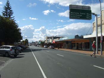
Main street of Te Kuiti (below)
Entrance to Tapanui Country Home near Te Kuiti. The entrance was created by removing the centre section of a massive rock (below right)
|
|
|
|
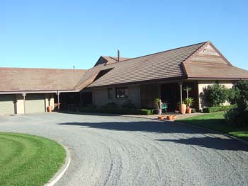
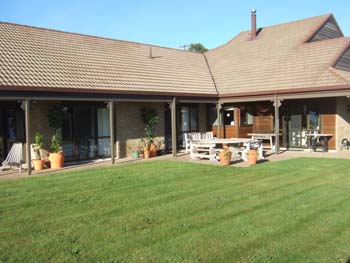
The house at Tapanui
|
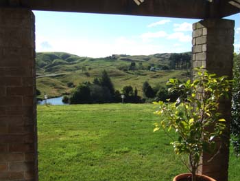
View from our bedroom
|
Day 22 - Trips from the homestay near Te Kuiti
- Waitomo Glowworm Caves (excellent but pictures not permitted)
- The Mangapohue natural arch (22 km. east)
- The Marokopa falls
- Weather: fine and warm
|
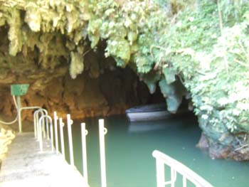
Leaving the Waitomo caves
|
The boat from which you see the glow-worms
|
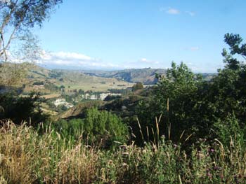
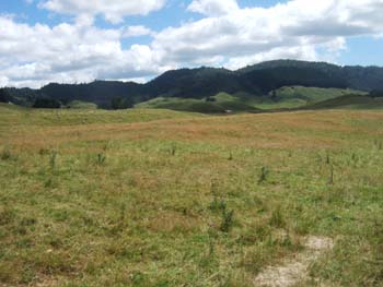
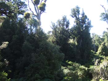
A typical North Island scene, which could perhaps be England apart from the tall trees and the absence of hedges
|
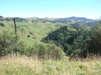
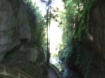
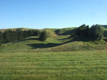
Many of the landscapes in this region are filled with these small bumpy hillocks
|
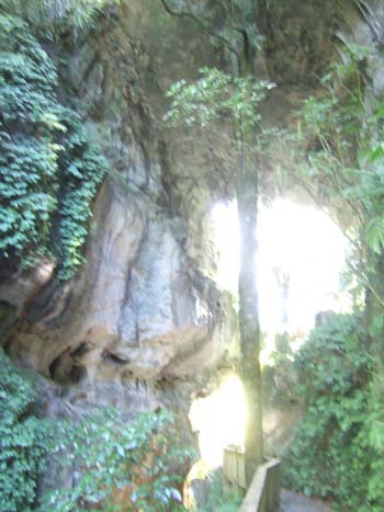
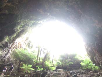
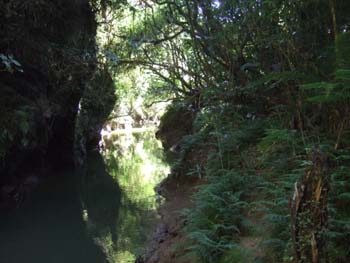
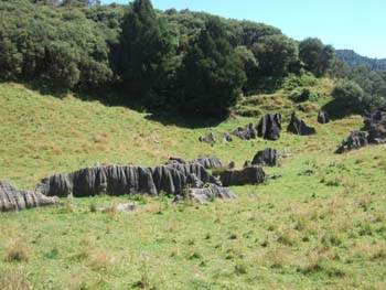
The Mangapohue natural arch
|
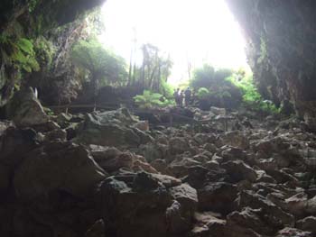
avery impressive space as high as a cathedral. You can see glow-worms here for free at night.
|
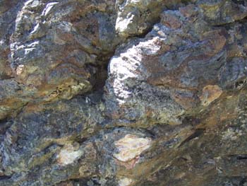
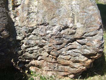
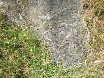
The rocks in the fields nearby are full of fossil oyster shells
|
|
|
|
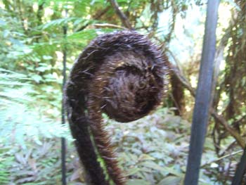
A fern about to unfold
|
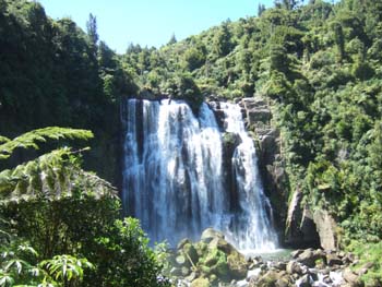
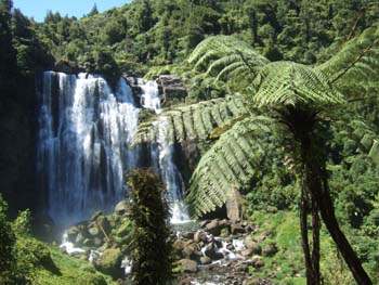
The Marukopa Falls another few km. along the road
|
|
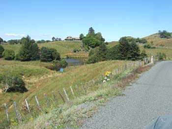
View looking back at the Tipanui homestay across their lake
|
Day
23 - Homestay near Te Kuiti to Rotorua
|
View from the dining room with the morning sun
|
|
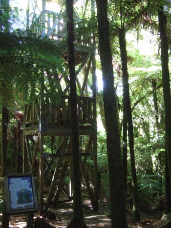
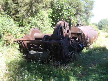
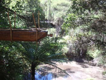
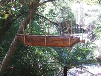
Short stop at the Pureora Forest where they have a very tall hide (right) so that you can climb to the level of the forest canopy
and there is also an ancient steam hauler, abandoned where it broke down ages ago (below)
|
|
|
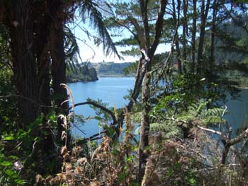
The road follows a succession of lakes formed by hydro dams
|
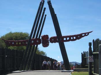
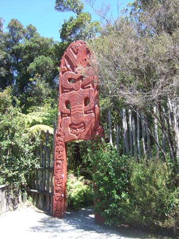
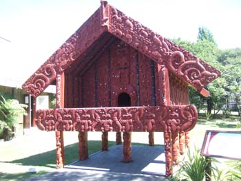
on Entry to "Whaka" (Te Whakarewarewa - the thermal area) from the NZ Maori Arts and Crafts Institute on Hemo Road
|
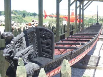
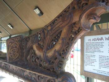
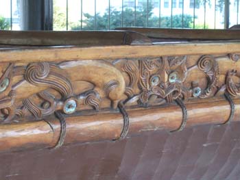
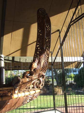
Maori war canoe
|
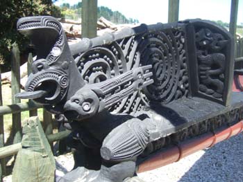
Detail of figure-head
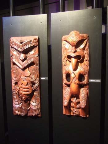
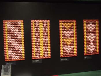
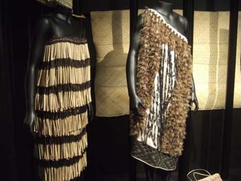
Various examples of Maori craft
|
|
|
|
Maori bird-trap
|
|
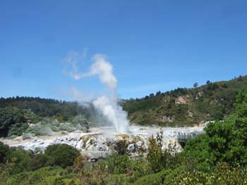
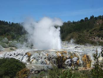
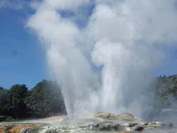
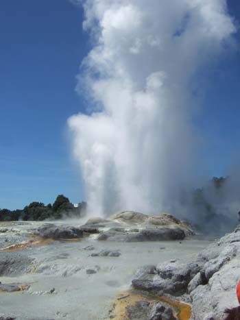
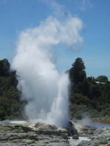
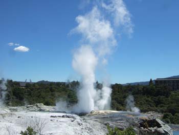
The Prince of Wales geyser, precursor of the larger Pohutu geyser
|
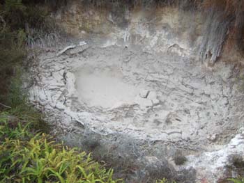
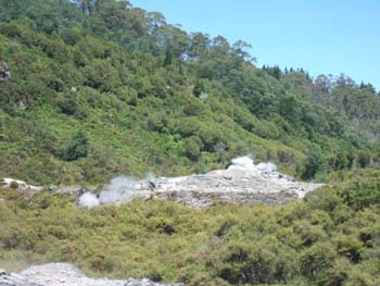
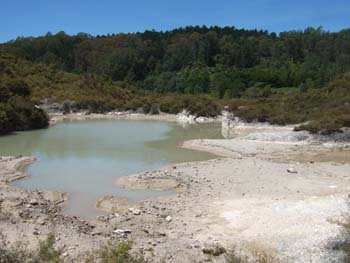
Mudpools
|
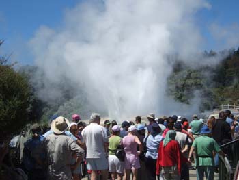
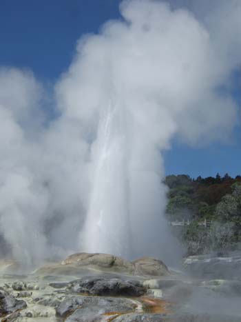
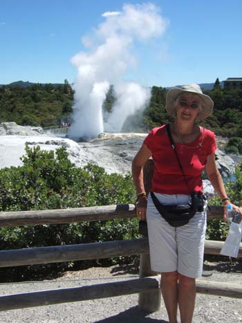
Pohutu geyser in full spate
|
|
|
|
|
|
|
|
|
|
|
A Maori pa (fort) overlooks the termal springs
|
|
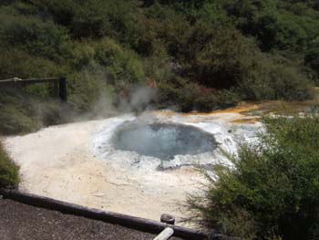
Boiling water spring
|
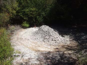
A curious dry mud mini-volcano
|
|
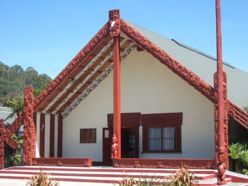
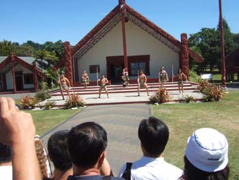
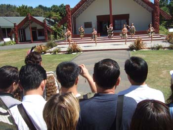
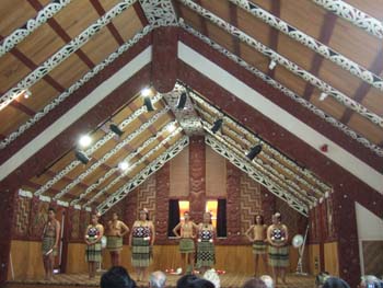
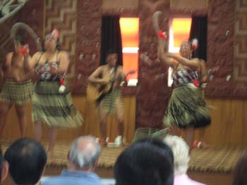
The Maori meeting house
|
|
|
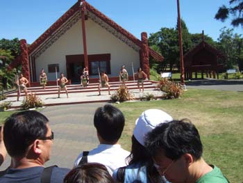
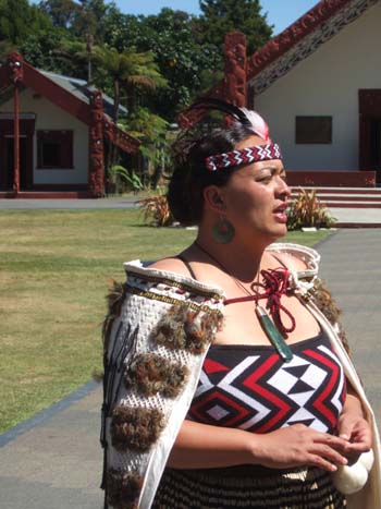
where later they performed a traditional Maori ceremony for the greeting of a chief and his followers
|
|
|
|
|
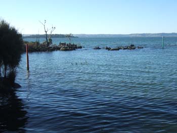
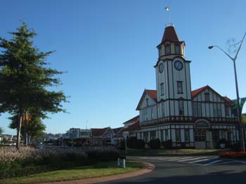
Evening walk along the shores of Lake Rotorua
|
starting with the sulphurous section
|
|
|
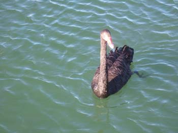
and finding black swans in the freshwater section
|
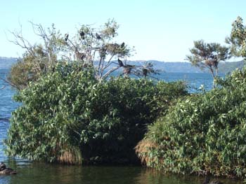
and cormorants nesting on trees
|
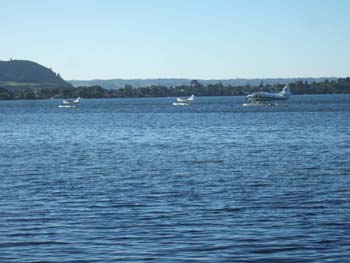
Some people arrive by sea-plane
|
and there is also a war-canoe on display
|
|
|
|
|
This page written and maintained by Internetworks
Ltd
 |